Don’t you hate it when you’re in a new city and can’t remember which photo was taken where? If only there was a way of combining Google Maps with a camera and a way to track of your adventures…
Well now there is!
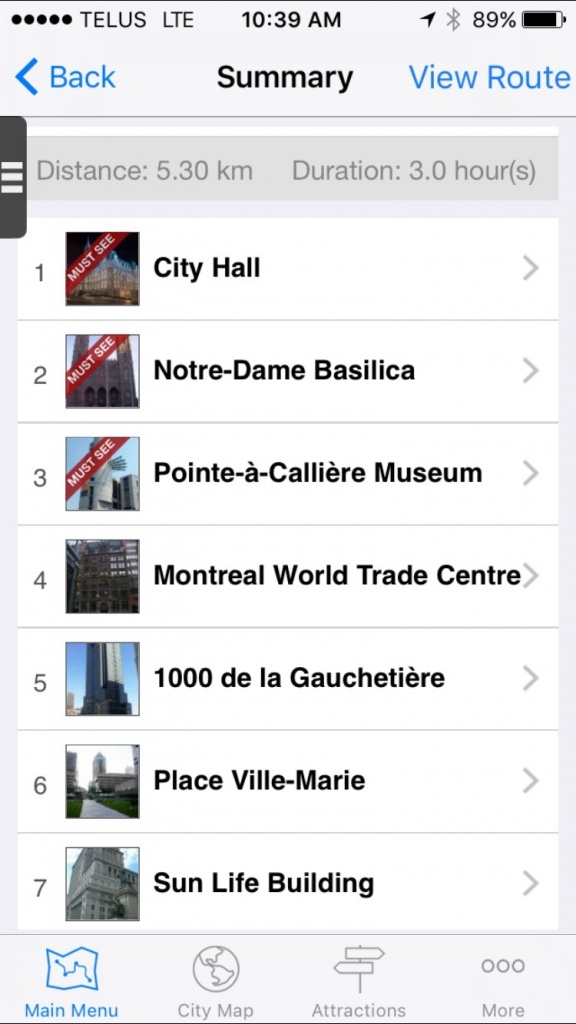
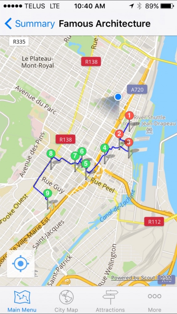
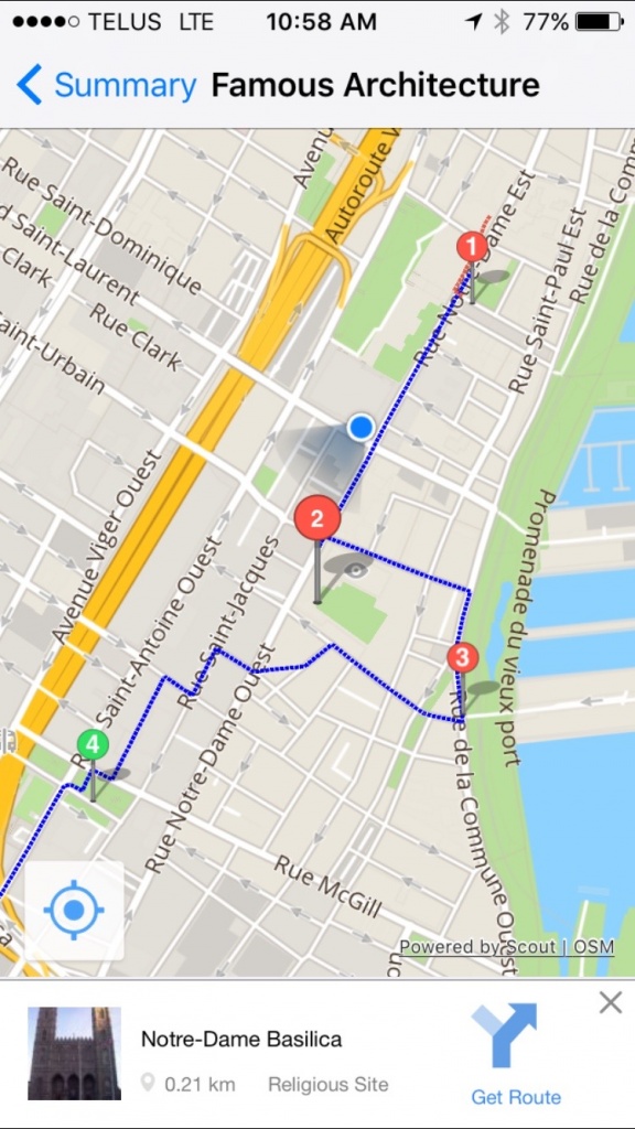
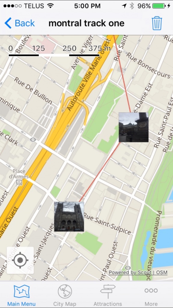
GPSMyCity offers comprehensive apps that will allow you to do numerous walking tours in hundreds of cities around the world. While you’re doing the self-guided tours, you can easily tag photos to each location on the map as an easy reminder later on. A great tool for travellers (and especially travel bloggers) to help document your trip and photos.
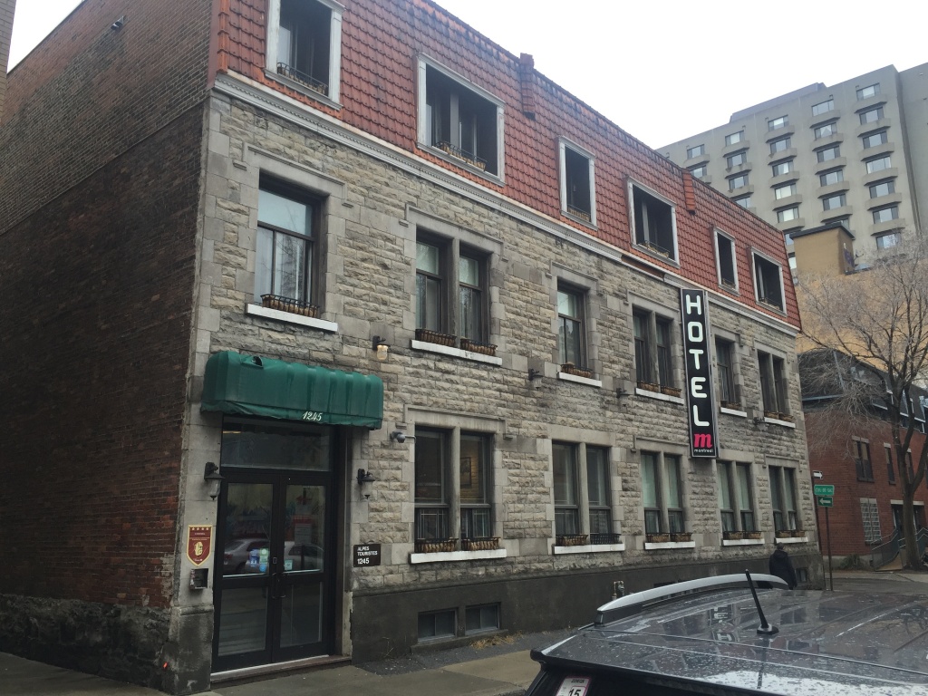
Below are some shots from my GPSMyCities Montreal tour.
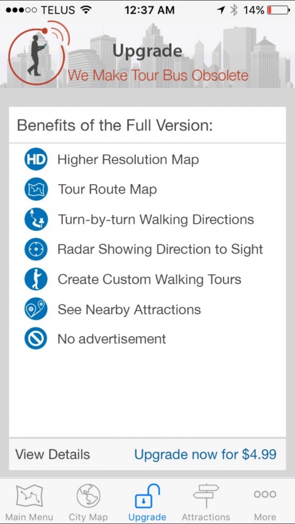
The difference between the free and paid versions?
